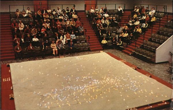
Electric Map National Park Visitor Center
Additional Details:
| The Electric Map is a 30 minute orientation program of the Battle of Gettysburg. By means of lights on a 750-square foot topographic model of the Gettysburg area, the story of the three-day battle is traced as it unfolded landmarks, points of fierce fighting and placement and movement of the opposing armies are made clear in this presentation. |


